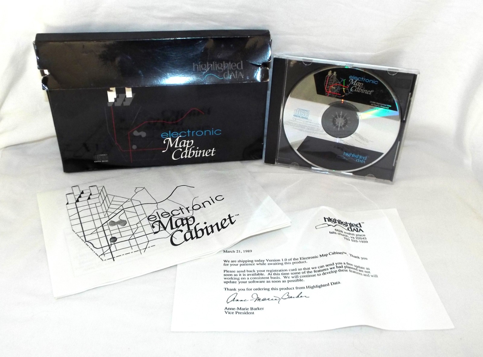
Electronic Map Cabinet Software, Highlighted Data Vintage Historical CD-Rom 1989
“Electronic Map Cabinet” is an early Mac-compatible CD-ROM product of Census and other public domain government vector geospatial data."This listing includes the CD-Rom, Letter from Anne-Marie Barker, Vice President of Highlighted Data, 2-page user guide, and packaging.
The guide states:"The Electronic Map Cabinet was designed to provide the user with a data source which would allow them to draw detailed maps of more than 80% of the populated U.S. You can draw a map showing only those features you would like drawn. No need to clutter up your map with features, streets, rivers etc. that you have no need to show. You can use the base data to draw maps showing your customers your (new) location, or as an advertising resource, to plan new site locations, to teach geography."
Very Good, Comes from non-smoking home